

Context
Detailing the development directions according to the approved Binh Duong Province master plan, the development goal for Thu Dau Mot area is to become a center for support services and innovation, including the development of a public transport network for the region, province, and urban areas based on public transport- oriented development (TOD). The rapid urbanisation in the southern industrial hub and surrounding area has led to significant changes in people’s needs. Specifically, the demand for quality of life, social amenities, green spaces, and job opportunities has been increasing, accompanied by great pressure on infrastructure. In this context, the TOD urban development model is considered a practical solution to reduce traffic congestion, environmental pollution, and create vibrant, multi-functional urban areas that attract investment. Updating of new technical regulations helps ensure that construction projects and urban planning in Binh Duong meet current standards. Previously built areas need to be reviewed and adjusted to ensure the synchronisation and sustainability of technical and social infrastructure. Key areas of Binh Duong, especially those oriented towards development as residential and office centers, need to be designed according to modern, attractive, and sustainable high-density ecological urban models.

Vision Binh Duong New City will become an eco-district – a destination for contemporary lifestyle and work environment, offering a diverse range of amenities within reach, making the city a memorable and livable place. Strategies Planning Revision:
- Develop affordable apartments: Increase building heights to create a larger housing supply, and convert low-rise buildings into high-rises.
- Invest in high-quality amenities: Improve the quality of construction, social infrastructure, and recreational facilities to attract talent.
- Implement a phased completion strategy to promote complete clusters: Strengthen and connect individual clusters to create comprehensive communities.
- Control and synchronise phasing and implementation: Accelerate construction to prevent land speculation and complete the community ecosystem.
- Supplement public amenities, schools, and parking lots through integrated planning measures to meet the urgent needs of urban development.
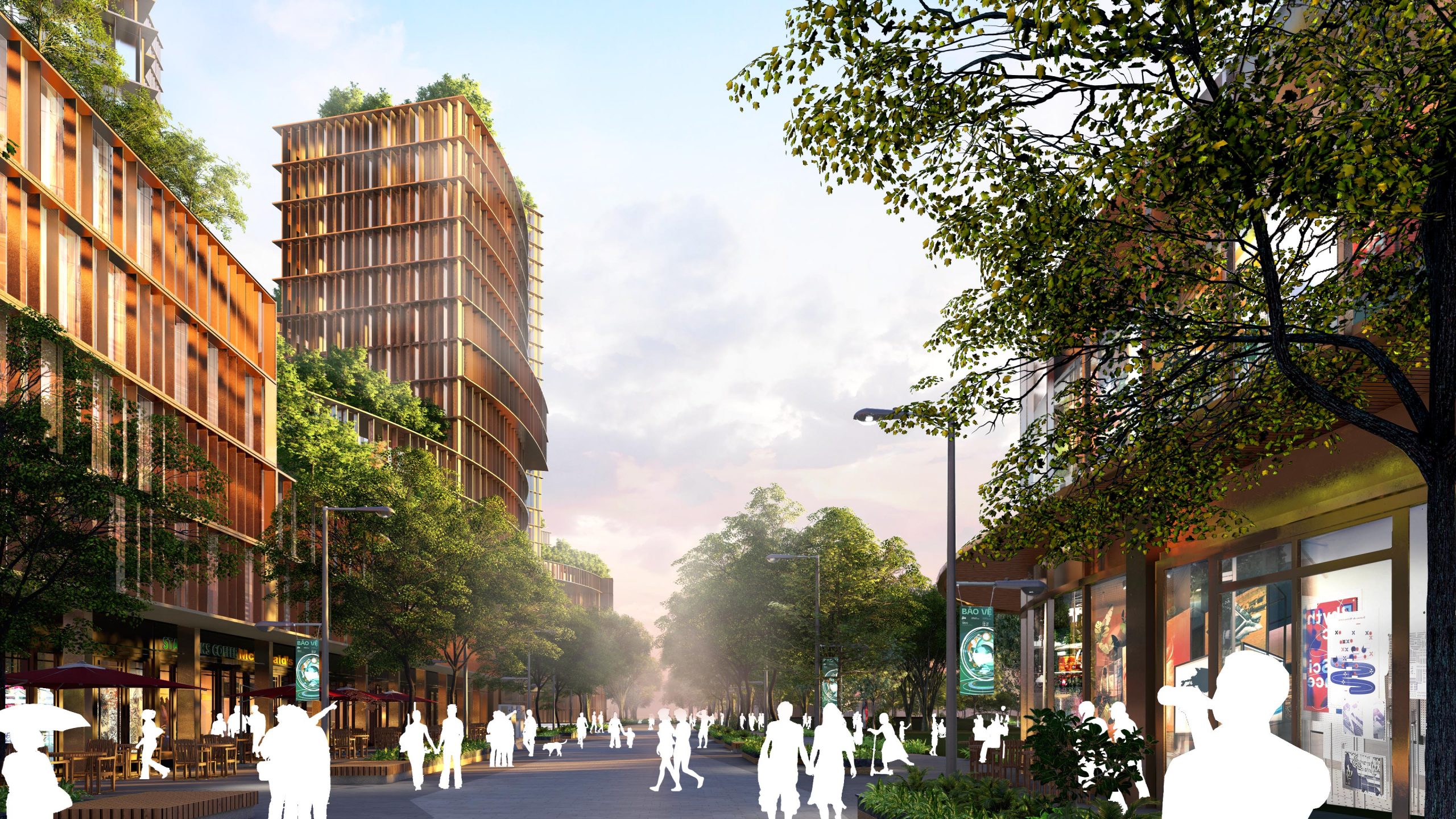
To create a seamless and unified network of diverse open spaces, acting as a series of interconnected green destinations:
- Dragon Hill Park: An internal park surrounded by quality amenities and services.
- Canalside Park: A communal space combining waterfront and shoreline, providing opportunities for relaxation, sports, and entertainment.
- Central Plaza: A vibrant urban space directly connected to pedestrian and shopping streets.
- Green Connection Routes: destinations and amenities with well-shaded green connectors, dedicated to active mobility.
This network of open spaces is being developed by creating corridors that connect amenities and green transportation networks. These spaces also help to identify suitable locations for commercial and service activities. Additionally, unique and striking landmark structures are being designed and built to enhance recognition and create a lasting impression, serving as icons for each area.
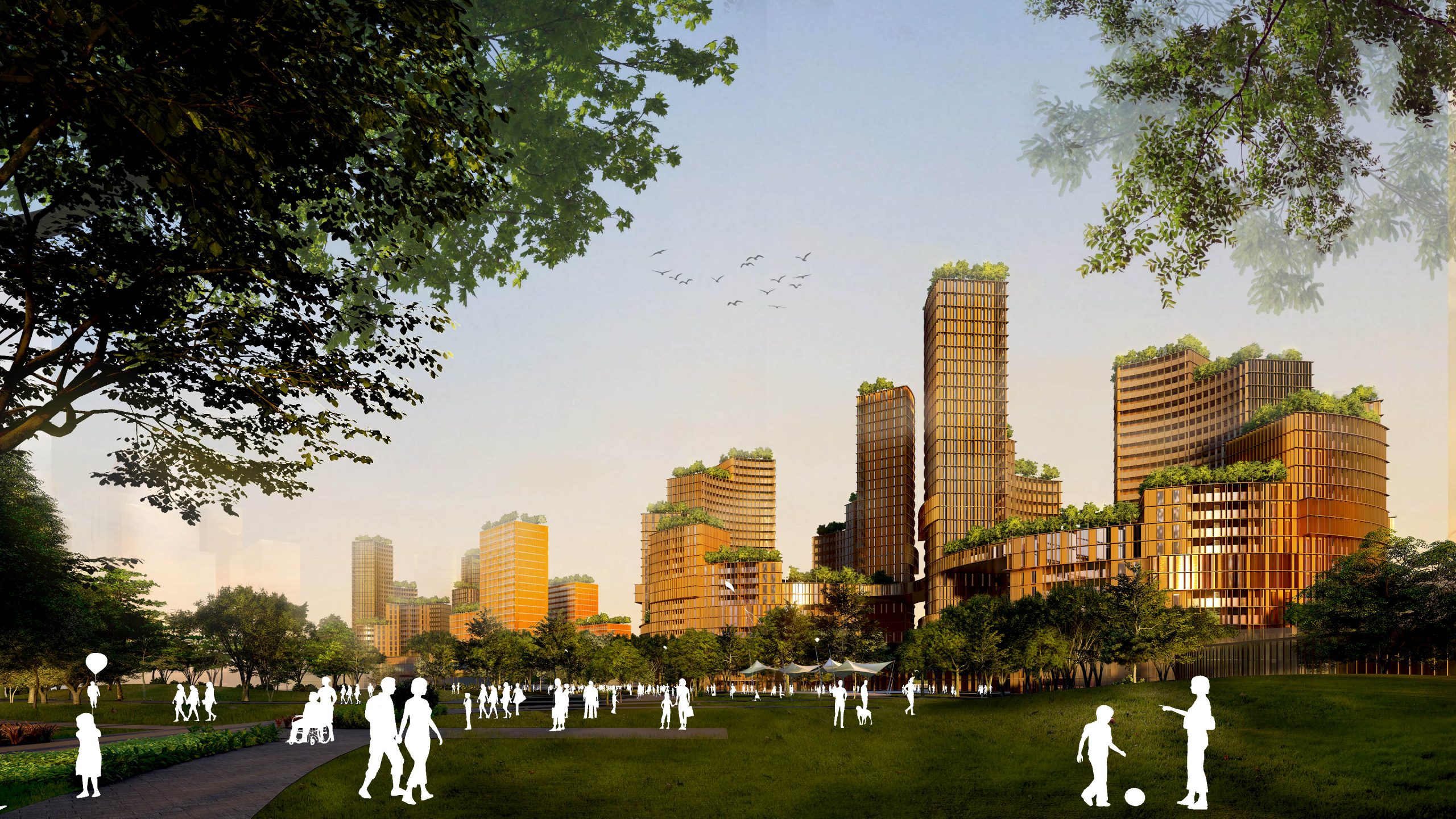
- Dragon Hill Landmark: Located at the gateway to the park complex and eco-residential area, this structure is inspired by the shape and materials of a dragon, with interconnected indoor and outdoor spaces that vary in height, creating a striking skyline.
- CBD Landmark Tower: Easily recognisable from a distance, this tower is visible from both the north-south and east-west axis and serves as a landmark for the urban plaza. The lower levels of the tower include public and semi-public spaces.

 VI
VI