

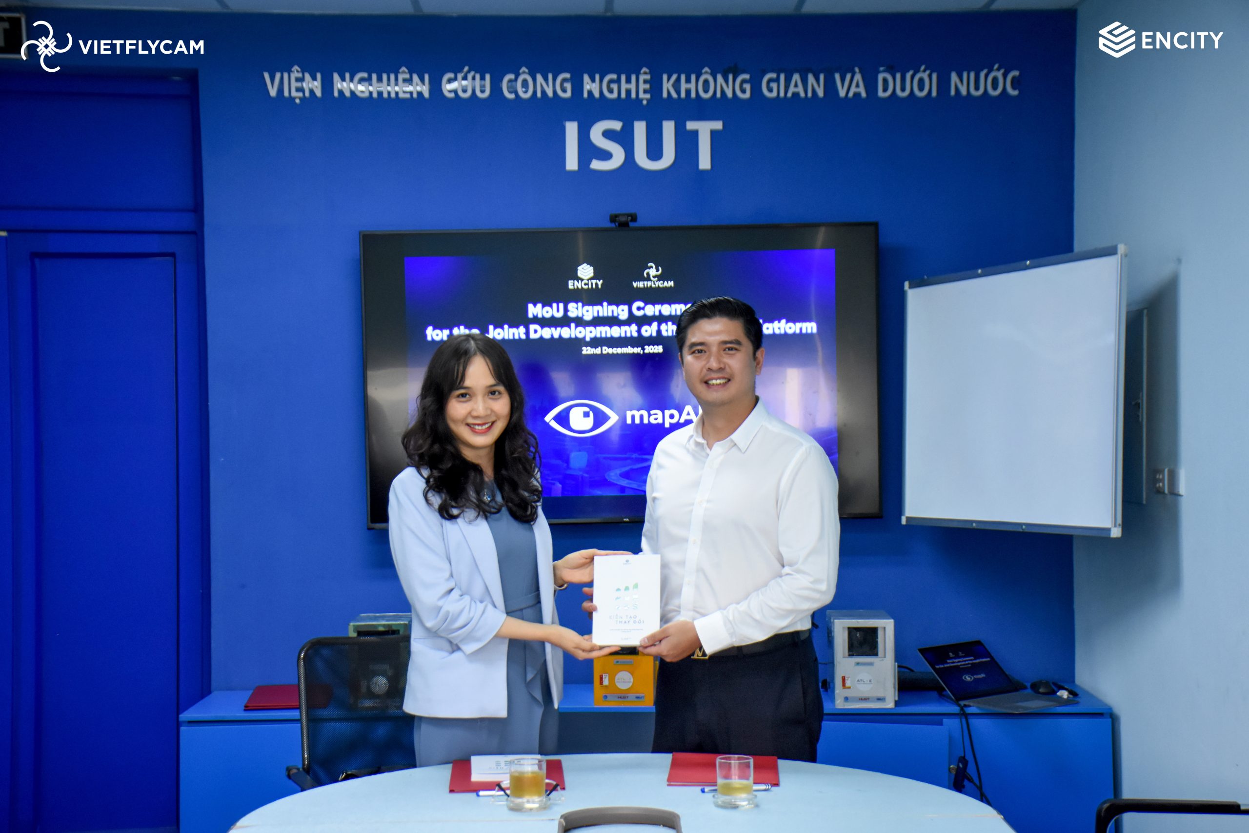
On December 22, 2025, at the headquarters of the Institute of Space and Underwater Technology Research – Hanoi University of Science and Technology (where Viet-flycam is based), enCity and Viet-flycam signed a Memorandum of Understanding (MoU). The event marked the official announcement of a project that has now been formally launched: the development of MapAI, an AI-integrated mapping platform envisioned as a “one-stop shop” for managing and operating development spaces.
The MoU was signed by Ms. Vuong Phan Lien Trang, Deputy CEO of enCity, and Mr. Do Quoc Viet, Director of Viet-flycam.
MapAI is structured around four functional layers: Plan, Prepare, Respond, and Redevelop. By integrating spatial data (including survey data), sector-specific information layers, and analytical tools, the platform aims to support local governments and stakeholders in capturing, analyzing, and making decisions more quickly and clearly—both in everyday operations and in risk or emergency situations.
The MoU confirms the cooperation framework and mutual commitment of resources between the two parties in the next development phase, moving toward pilot versions and real-world deployment of MapAI.


 VI
VI